Torres del Paine National Park
From Calama, we flew down to Punta Arenas. In Punta Arenas, we bought a few screw top gas canisters for our stove before taking the bus to Puerto Natales, where we stayed the night. The following morning, we left Puerto Natales and reached Torres del Paine around 11. We wanted to backpack the Paine circuit but were told by the rangers that the circuit was closed because of landslides in two areas. Disappointed, we were starting out on the W trek from Refugio las Torres when we ran into a backpacker from Utah on his way out who met several groups of people who'd gotten through the landslide areas safely. Upon learning this, we turned around and started the circuit by heading to Refugio Dickson.
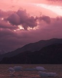
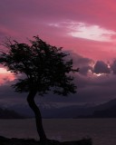
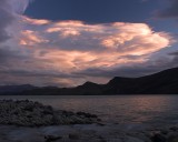
During our time in the park, the weather was constantly overcast and occasionally rainy, but we were fortunate that the famous sights weren't clouded in and we didn't encounter any torrential rains. Even though I had gotten up for four sunrises and stayed up for every sunset, I didn't manage to get any good photographs then because of clouds on the horizon.
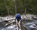
The trails were in pretty bad shape especially in the back between Camping Seron and Campamento Paso. When we were there, the trails were often very muddy, or washed out, or confusingly marked, or all of the above. The trail got a lot better once we hit the more popular W part of the trail. We'd bought waterproof breathable socks (sealskinz) because we were wearing trail running shoes and they turned out to be quite essential for keeping our feet dry. From what I read before leaving on the trip, I thought that a 4 season tent is essential for Patagonia. On hindsight, I realise that a sturdy 3 season tent is probably sufficient for the Paine circuit because the campamento and refugio campsites (at least the ones we were at) have good wind breaks.
Our itinerary was as follows :
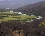
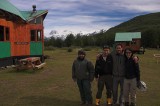
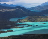
Day 1: Refugio las Torres to Refugio Dickson. This day had the heaviest rain during our trip and combined with the low clouds, we didn't get to see much. The day was a real grind because I was carrying 6 days of food for two people, which, together with my photo gear, resulted in a 55 lb pack; after we'd eaten most of the food, my pack felt weightless in comparison. The area near Refugio Dickson is very pretty and it is well worth spending a night at Dickson. The staff at Dickson were very friendly and we enjoyed our stay. We ran into them in Puerto Natales just after we'd returned from the park.
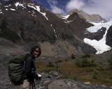
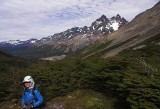
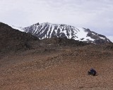
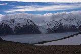
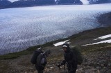
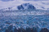
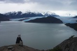
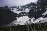
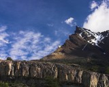
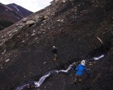
Day 2: Refugio Dickson to Campamento Paso. This day had the worst trail and best view in Torres. The trail is non-existent for a large section between Camping los Perros and Paso John Gardner because it's basically a large bog. We spent a lot of time figuring out whether we were on the right track and avoiding the knee deep mud. On the other hand, the view as you crest the top of Paso John Gardner and see Glacier Grey for the first time is amazing. This view was easily the best we saw in Torres del Paine and (together with the area around Lago Dickson) makes it worthwhile hiking the circuit instead of just the W. I carelessly left my spectacles on a rock just below the pass and was forced to use the (goofy looking) prescription inserts on my sunglasses as my regular glasses for the rest of the trip.
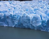
Day 3: Campamento Paso to Refugio Grey. We wanted to stay in Refugio Grey to watch icebergs float past and so this was a short day.
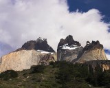
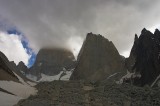
Day 4: Refugio Grey to Campamento Britanico. Valle del Frances is my second favourite sight in Torres del Paine. As we headed up the valley, on our left was Cerro Paine Grande from which we would constantly hear and see avalanches, and on our right were the spectacular Cuernos del Paine. The mirador at the end of the trail has a view of the cirque of towers in the valley, which is amazing as well.
Day 5: Campamento Britanico to Refugio los Cuernos. We'd heard from an American lady living in Refugio Grey that Refugio los Cuernos had an amazing view so we decided to spend an extra day and stay there. The view is nice but I think she exaggerated the merits of staying in Refugio los Cuernos.
Day 6: Refugio los Cuernos to Campamento Torres. After setting up our tent at Campamento Torres, we dayhiked up to Campamento Japones and then into the Valle del Silencio, where the Torres climbing routes begin. This hike was based on the recommendation of Mariano, a Chilean guide we met on the trail. The hike into Valle del Silencio is over scree, talus, and boulder fields and was enjoyable as you can get quite close to the sheer walls of the mountains in the valley. The weather turned bad midway through our dayhike so we didn't get much of a view.
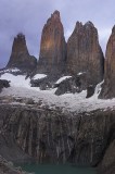
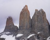
Day 7: Campamento Torres to Refugio las Torres. We woke up early, hoping to see sunrise alpenglow on the Torres del Paine but we had no luck with that. At least we got to see Torres without being shrouded with clouds. This was our last day and we hiked out to catch the shuttle out of the park at Refugio las Torres.
