Mount Shasta - Casaval Ridge
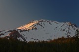
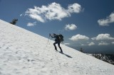
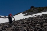
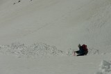
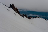
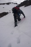
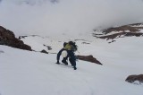
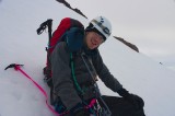
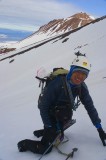
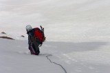
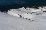
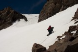
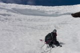
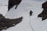
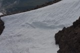
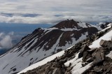
Paul and I went to Mount Shasta in the middle of July 2005 to attempt the Casaval Ridge route. Casaval Ridge is normally a winter-spring route but because of El Nino this year, it stayed in condition for much longer than usual. Unfortunately, despite reports to the contrary, it was already mostly out of condition when we attempted it. Of course, we didn't know this until well into the second day when it was too late to either pick another route or to turn back. The snow conditions on both the lower and upper parts of Casaval Ridge was quite poor, and we felt it necessary to set up running belays for about 2000 feet of the climb from around 10500 to 12500 feet. It didn't help that we missed our intended route about 2/3 of the way up and instead followed a more difficult variation that hugged the ridge till it topped out on the summit plateau.
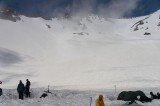
On the first day, just before we reached our intended campsite, Paul set off a point avalanche that turned out to be slow but reasonably large; we could still see the avalanche debris even after climbing a few thousand feet above the campsite.
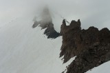
On the second day, we started off at about 5 in the morning. Because of the poor route condition and the running belays, we were moving very slowly and didn't top out of Casaval till about 1830 hrs, by which time we were caught in a whiteout with winds of roughly around 40 mph. At some point during the day, we realised we wouldn't reach the plateau till the evening but we thought that it would be safer and easier to hit the summit plateau and descend through Avalanche Gulch. Of course, we didn't count on being caught in a whiteout since the weather had been good for the past few days and all seemed well for most of second day till around 1600 (when we saw clouds moving in rapidly).
We knew that we couldn't safely descend in the whiteout, so we headed towards the Red Banks, hoping to set up a shelter near the trade route where we would be assured of meeting people the next day. We followed the edge of the summit plateau toward where we thought the Red Banks were, trying to stay as close to the edge as possible to avoid the glacier. Once we thought we were reasonably close to the standard route, we dug a trench at 13300 feet (we found out the next day that it was a few hundred feet above the Red Banks). It didn't help that my shovel had fallen out of my pack on the steeper section of Casaval.
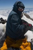
Because I was getting very cold and the winds were picking up, we threw down my borrowed bivy sack (we didn't bring tents) and spent a long night sharing a sleeping bag in that bivy. Unfortunately, my Prolite 4 sleeping pad sprung a leak that night as well. When we got up the next day, everything outside the trench was iced over with a couple of inches of windblown ice. Unfortunately, that included our boots because in our rush to get out of the cold, we didn't manage to put them in the trench. so we had to chip away most of the ice and wait for the rest to thaw out. We were out of food and water but some nice people on the way up to the summit gave us powerbars and granola bars. The descent was uneventful and we glissaded a fair distace down the standard Avalanche Gulch route. Even though it was an eventful trip, I still had a great deal of fun and learnt a lot on the way.
