Cordillera Huayhuash Circuit - Day 8 → 12
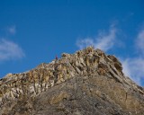
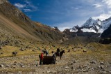
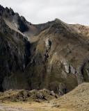
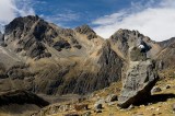
Day 8 - Cuyoc Pampa (4500 m) → Catatambo (4265 m) crossing San Antonio pass (5025 m). San Antonio pass was the most dramatic pass we crossed and had the best views. Emily, Zac, and I scrambled up to the 5079 m high point along the ridge next to the pass where the views were even better. From our camp, we took about 2 hours to reach the top of the pass. The descent was very mild compared to Paria Punta and we made short work of it, reaching Catatambo around 11 am.
Day 9 - Catatambo (4265 m) - Rest day. We took a side trip to visit the Siula Grande base camp (made famous by the book and movie "Touching the void"), and also to an overlook to get views of Siula Grande and Yerupaja. The views were nice, but nothing compared to what we'd seen the previous day.
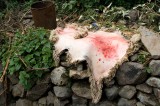
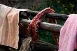
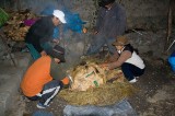
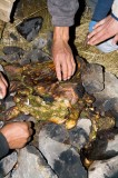
Day 10 - Catatambo (4265 m) → Huayllapa (3600 m). A very short day, just two hours of walking before we reached Huayllapa. We had a very short day because we planned for a Pachamanca that night at Zac's sister's house in Huayllapa. Our staff bought a lamb and two guinea pigs, and then prepared them with the help of Zac's sister. The meat was cooked by being buried with hot stones and earth, and was incredibly tasty. That night, we stayed in a small hostel for 7 soles each.
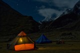
Day 11 - Huayllapa (3600 m) → Rio Alchin (3850 m) crossing Tapush Punta (4800 m). Despite the 1200 m elevation gain, this day was quite easy. We saw 8 condors circling overhead about an hour from Tapush Punta; Ray, Serene, and Emily were lucky enough to have a few condors fly within a few meters. We camped along the Rio Alchin, which wasn't a great camp site but it was our last night.
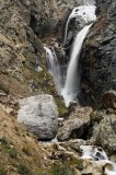
Day 12 - Rio Alchin (3850 m) → Llamac (3300 m). We climbed a short distance to reach an aqueduct and we walked along it for an hour or so before intersecting with the main trail to Llamac. We were back in Llamac by 1130 am and left for Huaraz at 1230 pm, having had a great time on the circuit.

